From Tróia to Odeceixe, the whole coast in one place.
Where to sleep, where to eat, which beach to pick today and who does what in each village. Local information on Grândola, Alcácer do Sal, Santiago do Cacém, Sines and Odemira.
What are you looking for?
A directory organised by topic and by place, with contacts, address and map.
Where to Stay
Hotels, rural guesthouses, farmhouses, holiday rentals and campsites.
75 listingsWhere to Eat
Seafood restaurants, tascas, petiscos and Alentejo cooking.
40 listingsBeaches & Nature
Beaches, lagoons, cliffs and protected areas.
8 listingsCulture & Leisure
Castles, museums, festivals, surfing and outings.
2 listingsShopping & Services
Grocery shops, crafts, local producers and services.
Coming soonHealth & Wellbeing
Health centres, pharmacies, clinics and therapies.
Coming soonProperty
Estate agents, houses and land to buy or rent.
Coming soonYour business here
List your place to stay, restaurant or service for free.
List it →The coastal villages, in the order you reach them.
Follow the coast down from Lisbon. Each place has its own page with beaches, tables, beds and services.
Santo André
Santiago do CacémProtected coastal lagoons and a long sandy beach.
37.96°N02 / 09Sines
SinesPort town with a castle above the bay, birthplace of Vasco da Gama.
37.85°N03 / 09Porto Covo
SinesWhitewashed village with a square plaza and Pessegueiro Island.
37.72°N04 / 09Vila Nova de Milfontes
OdemiraTown at the mouth of the Mira river, with river and ocean beaches.
37.65°N05 / 09Almograve
OdemiraDunes, schist cliffs and a wild sea.
37.60°N06 / 09Cavaleiro
OdemiraVillage by Cabo Sardão and its lighthouse.
37.52°N07 / 09Zambujeira do Mar
OdemiraClifftop town with coves below.
37.48°N08 / 09Azenha do Mar
OdemiraSmall fishing harbour hidden in the cliffs.
37.44°N09 / 09Odeceixe
Aljezur (Algarve)The Seixe river marks the border between the Alentejo and the Algarve.
Where to start.
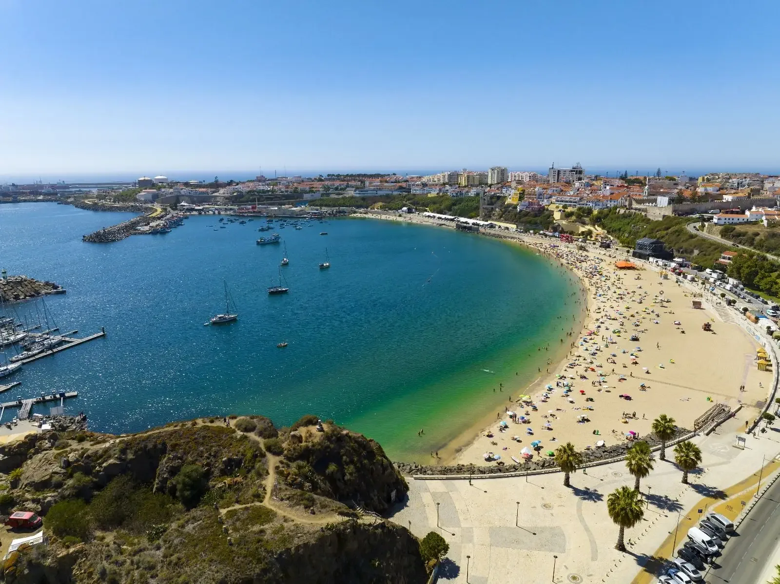
Casa do Médico de São Rafael

Set in a restored 19th-century quinta that keeps its original character, Casa do Médico de São Rafael is one of the landmark buildings of Sines. It has 20 rooms (double, twin, double for si…
Ilha do Pessegueiro
Small island south of Porto Covo with traces of ancient settlement, facing the Pessegueiro Fort and a wide sandy beach.
Praia do Malhão
Open ocean beach north of Vila Nova de Milfontes, with dunes and a long stretch of sand.
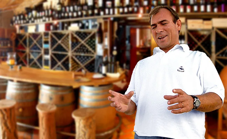
Tasca do Celso
A Portuguese and Alentejo restaurant in the centre of Vila Nova de Milfontes, on Rua dos Aviadores. Despite the name, Tasca do Celso describes itself as a modern Alentejo tavern: traditiona…
Cabo Sardão
Lighthouse on tall cliffs, where white storks nest on the rocks above the sea.
Praia de Odeceixe
Beach at the mouth of the Seixe river, with river sand and sea sand side by side.
The coast is best on foot.
The Fishermen’s Trail follows the cliff tops along the paths fishermen used to reach the rocks. The Historical Way runs inland, between villages, cork oaks and farmhouses. Both cross the Southwest Alentejo and Vicentine Coast Natural Park.
Culture & Leisure- FishermenPorto Covo → Vila Nova de Milfontes20 km
- FishermenVila Nova de Milfontes → Almograve15 km
- FishermenAlmograve → Zambujeira do Mar22 km
- FishermenZambujeira do Mar → Odeceixe18 km
The Alentejo Coast, Portugal’s wildest shoreline.
The Alentejo Coast starts at the Tróia peninsula and ends at the Seixe river, where the Algarve begins. Along the way you find rice fields and dunes at Comporta, the Melides lagoon, the port and castle of Sines, the white houses of Porto Covo, the mouth of the Mira river at Vila Nova de Milfontes and the schist cliffs between Almograve and Zambujeira do Mar.
Much of the southern coast is protected by the Southwest Alentejo and Vicentine Coast Natural Park: beaches without tower blocks, fishing villages and a coastline you can walk on the Rota Vicentina.
More about the coast and this siteFrequently asked questions
Which municipalities make up the Alentejo Coast?
The Alentejo coastline runs through the municipalities of Grândola, Alcácer do Sal, Santiago do Cacém, Sines and Odemira, from the Tróia peninsula down to the Seixe river by Odeceixe.
When is the best time to visit the Alentejo Coast?
June to September for the beach. Spring and autumn are the best seasons for walking the Rota Vicentina, with mild temperatures and fewer people.
How do I get to the Alentejo Coast from Lisbon?
By car, take the A2 motorway south and then the roads that run down along the coast. For Tróia and Comporta there is also a ferry from Setúbal.
Is the sea cold?
It is the open Atlantic, so the water stays cool even in summer and some days bring big waves. Choose beaches with lifeguards and follow the flags.
What is the Rota Vicentina?
A network of walking trails in southwest Portugal. The Fishermen’s Trail follows the cliffs along the sea and the Historical Way links villages inland, both crossing the Southwest Alentejo and Vicentine Coast Natural Park.
Run a business on the coast? Put it on the map.
Visitors come here to find where to stay and where to eat. Create a listing for your restaurant, accommodation or shop and show up when people search your area.